Merstone to Horringford
In this section we switch rivers. It’s goodbye to the Medina and welcome to the Yar. Confusingly there are two river Yars on the Isle of Wight. This Yar is the Eastern Yar and flows towards the coast at Bembridge.
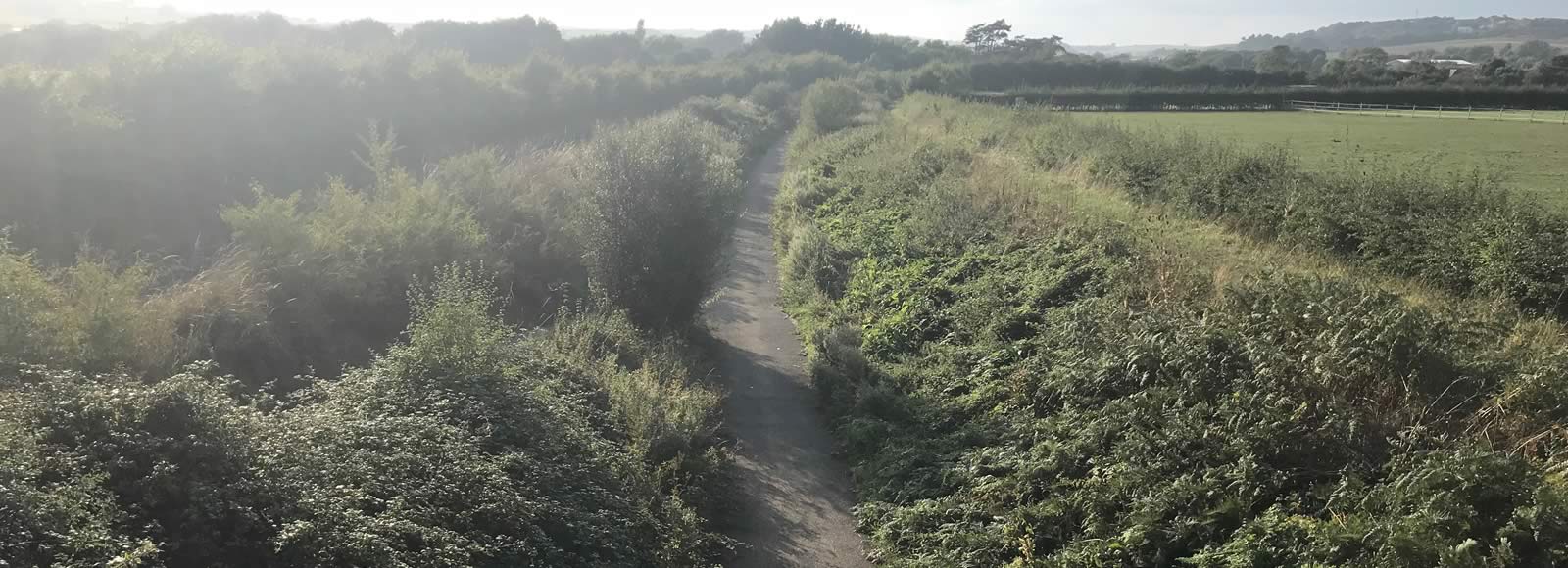
The route follows the Yar for most of the section. Towards the Horringford end it turns away from the river onto duckboards, before coming alongside the river again after crossing the main road at Horringford.
It is all off-road. There is a toucan crossing at Horringford end, where the route crosses the busy A3056.
The turn-off for Godshill is not far after Merstone. It’s quite easy to miss the narrow path that leads up to the road, but look out for the bridge – see photo below.
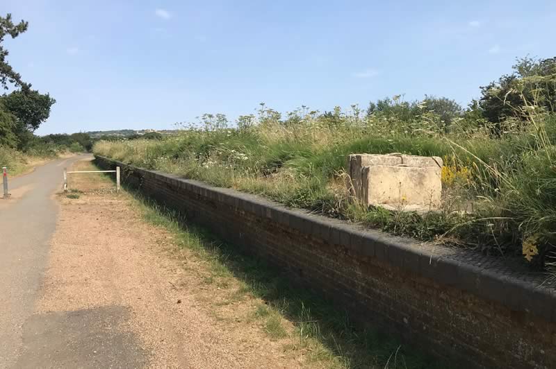
Merstone Station platform.
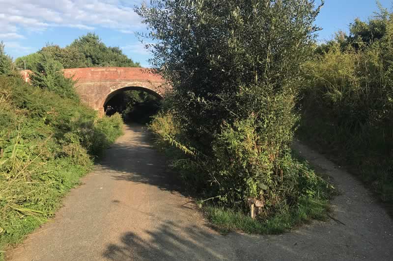
East Lane bridge. This is where the turn-off to Godshill is – it’s very easy to miss!
View across to Redway Farm from the cycle track.
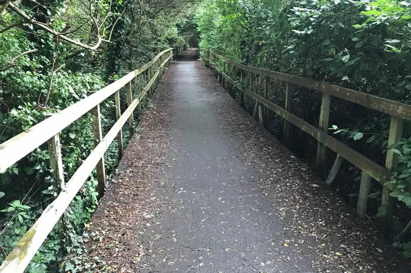
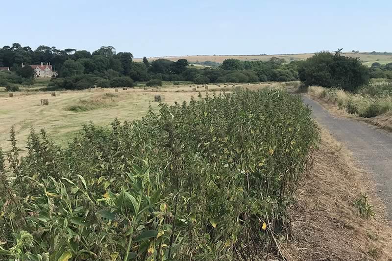
Raised duckboards near the Horringford end of the section.
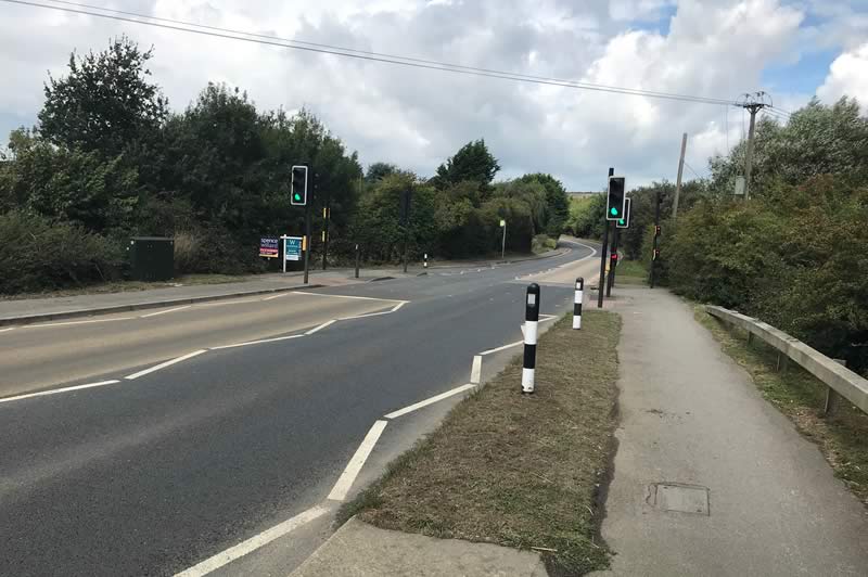
Crossing the A3056 at Horringford.
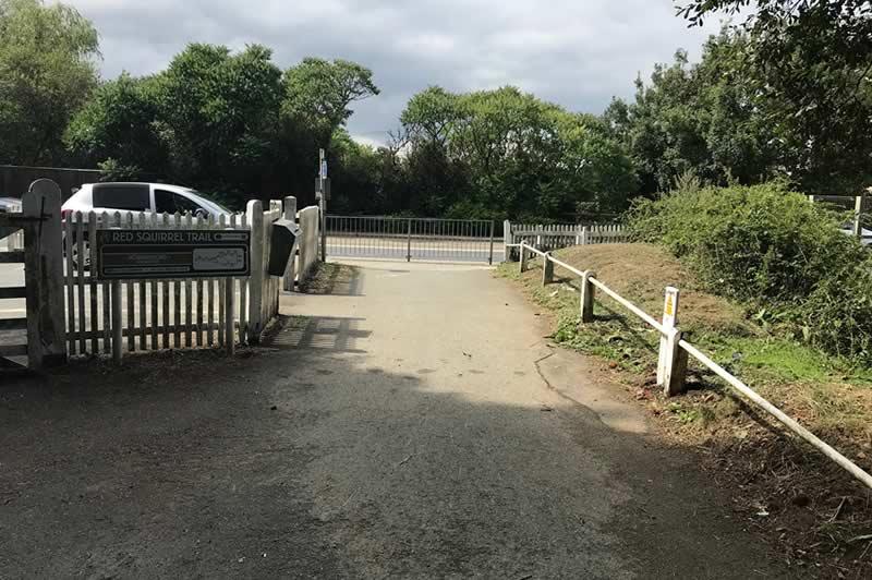
The end of this section at Horringford.
Distance: 2.7km (1.7mi)
Time: 8 – 11 minutes
Elevation: mostly flat
Terrain: Off road. Mostly well-surfaced. Duckboard section can get a bit slippy in wet weather.